Suraksan
Mountain in South Korea

Suraksan
Seoul and Gyeonggi Province, South Korea
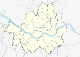
Show map of Seoul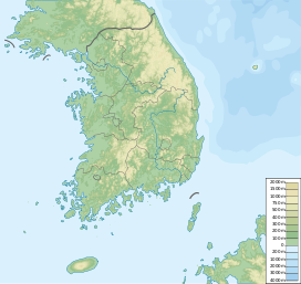
Suraksan
Suraksan (South Korea)
Show map of South Korea수락산
水落山
Suraksan (Korean: 수락산) is a mountain in South Korea. It extends from the Nowon District of Seoul to the cities of Namyangju and Uijeongbu in Gyeonggi Province. It has an elevation of 637.7 m (2,092 ft).[1][2]
Sights
Suraksan is a hiking mountain, notable sights include the Geunnyu, Eunnyu, and Ongnyu waterfalls, the Heungguksa temple from the Silla period, the Seongnimsa temple from the Joseon period, and Gwesanjeong Pavilion.[2]
See also
References
- ^ An Gyeong-ho (2004). 한국 200 명산 (200 Korean Mountains). Seoul: 깊은솔 (Gipeunsol). p. 332. ISBN 89-89917-14-X.
- ^ a b "Suraksan Mountain (수락산)". Korea Tourism Organization. Retrieved 2017-02-22.
| Authority control databases: National |
|
|---|


